VINOGRAD PROJECT
GIS analysis
Analysis and building of development projects taking into account large packages of map and open data.
Who is it for?
Business:
-determination of priority development vectors
-analysis of the best place to start business
-analysis of new points of development of the existing network
The State:
-analysis of infrastructure development
-determination of priority development vectors
|
What do we base our analysis on?
For each project, we select our own data set for analysis, and here are the main components:
|
|
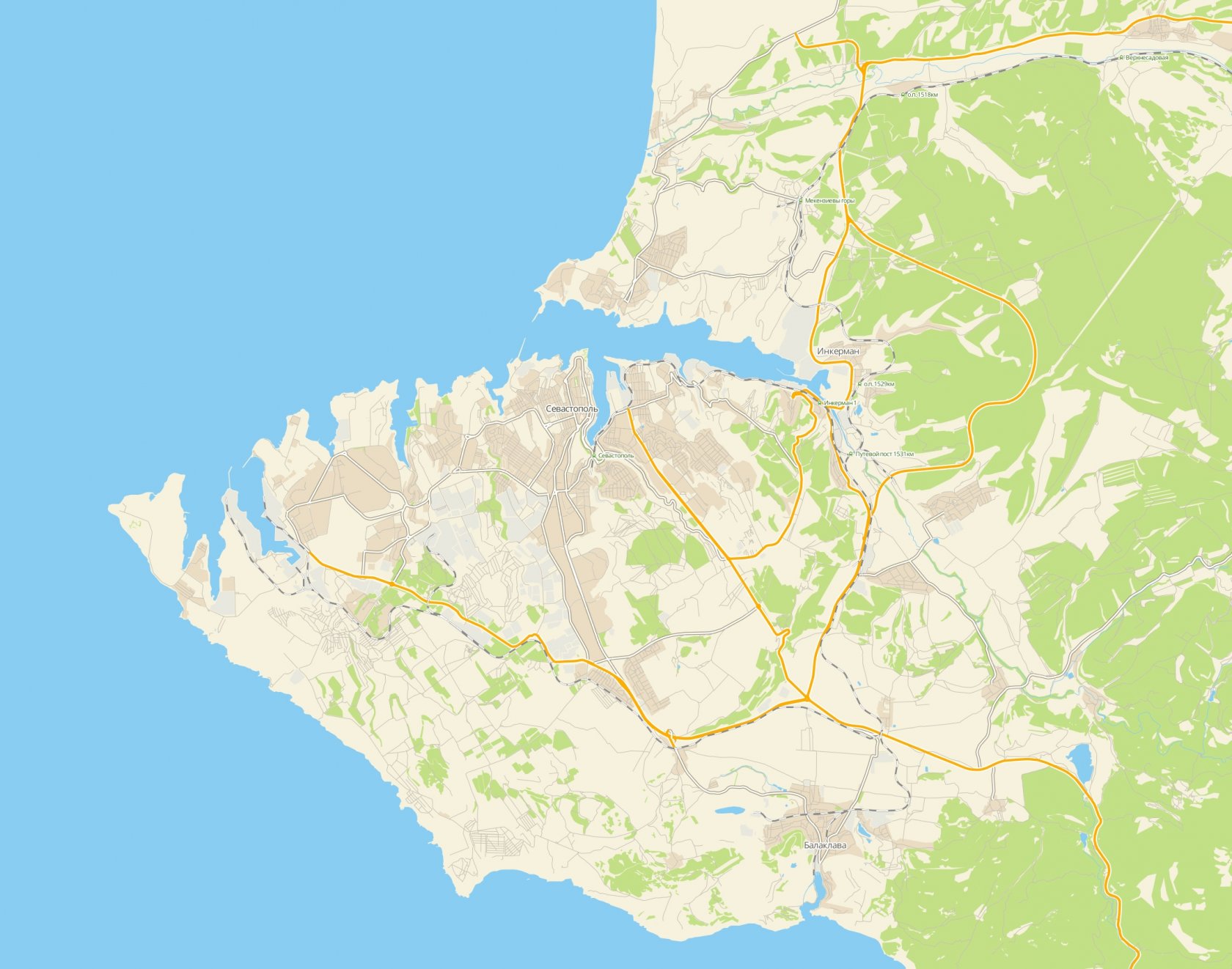
Map data
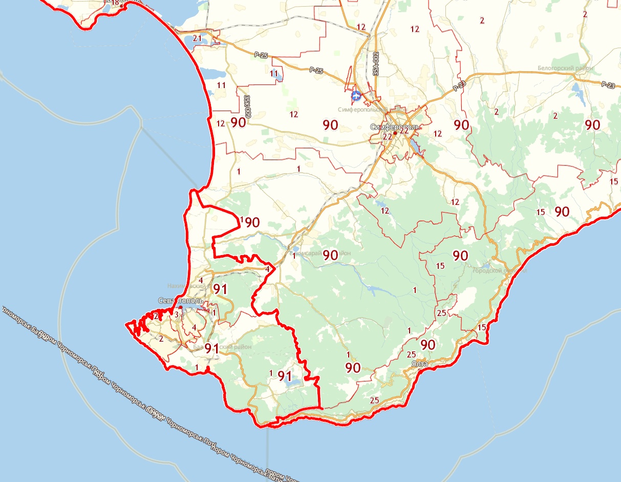
The map is the basis for GIS analysis. We use different map base materials for different tasks, together with GoogleMaps, Yandex Maps and OpenStreetMap.
The project base may include a vector layer, with designated objects, such as roads, buildings, structures, etc., and an orthophotomap (photo from space). Due to a rare update of images, you can order the actual orthophoto using modern and affordable drone technology. |
|
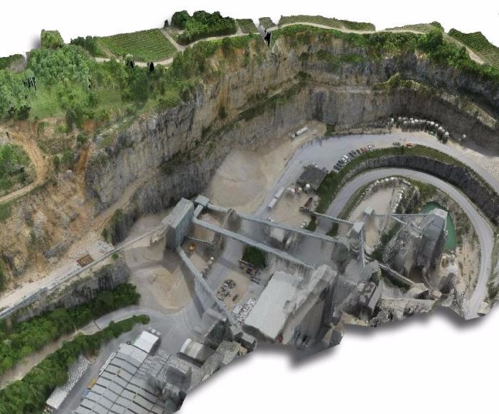
3d terrain scanning
Based on the actual orthophoto made by our drone, we can create an accurate three-dimensional terrain model with geodata reference.
|
|
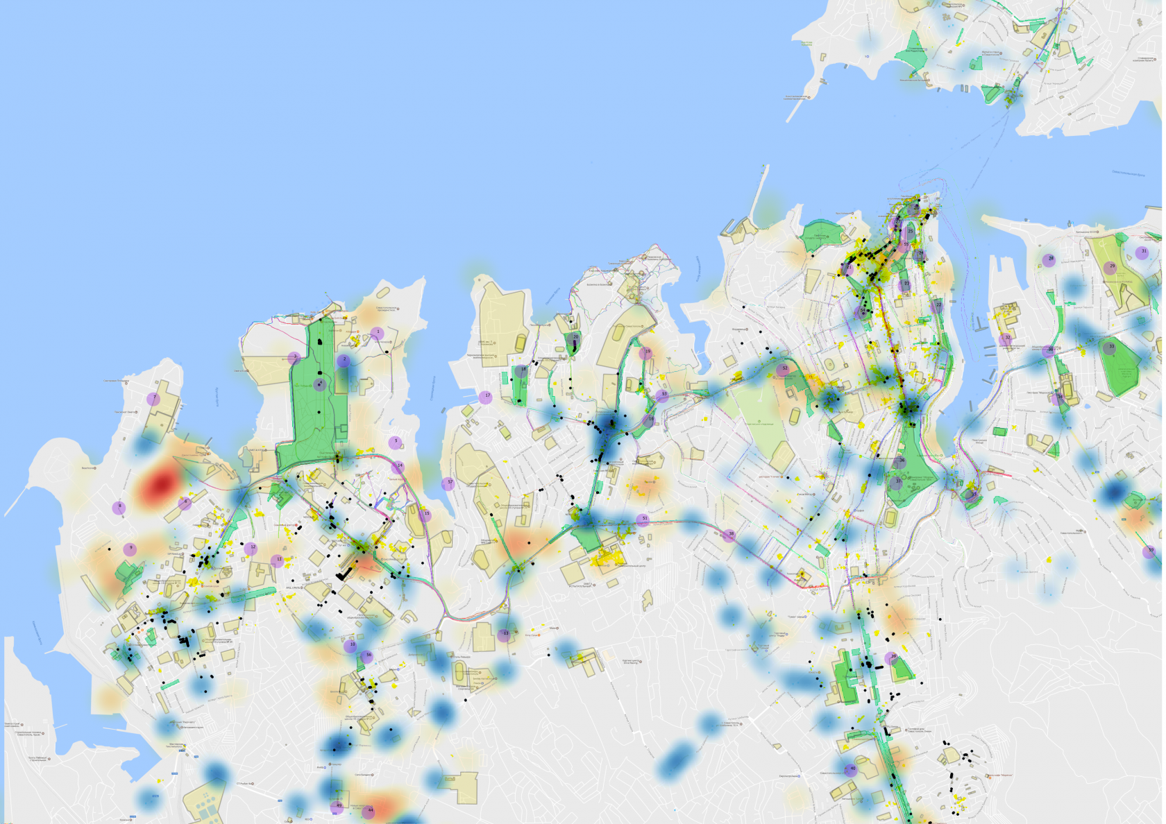
Open data
Superimposed on the obtained cartographic basis as the next layer are the open data available in the network, such as RosCadastre data, GPS tracks, municipal data stored in the Information System Designed for City Planning, place references and publications from social networks, traffic data, and so on.
|

|
Local data
The data that we can collect only on site.
|

|
Surveys and opinion polls
-Conducting local surveys
-Creating an Internet portal for polling the target audience |
Result of work
You get a graphical analysis of the existing situation on a specified territory, together with an analytical note.
hello@vinogradpro.ru
+7 978 791 49 78
+7 978 791 49 78
Russian Federation, Sevastopol, Rudneva st. 37c, office 4
